Mozambique · Bazaruto-archipel
Vilankulo & Bazaruto Boat Trips
The islands, dunes and Two Mile Reef of Bazaruto National Park
- routes
- 3 routes
- vertrekpunten
- 1 vertrekpunten
- boten
- 3 boten
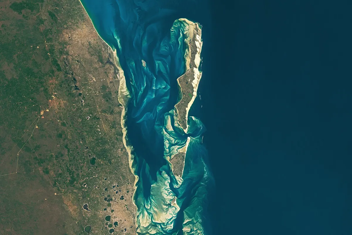 © NASA Earth Observatory images by Wanmei Liang, using Landsat data from the U.S. · Public domain
Vilankulo & Bazaruto
Routes in Vilankulo & Bazaruto
Onderzochte routes met stops, vertrektijden en seizoen.
Bazaruto Day Trip: Two Mile Reef and the Dunes
Bazaruto Archipelago Private Boat Day
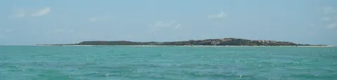
Dhow Sailing from Vilankulo to Magaruque Island
Vilankulo & Bazaruto
Hoogtepunten
Two Mile Reef
The reef east of Benguerra, usually snorkelled around low tide.
Bazaruto dunes
The tall dunes on the archipelago's largest island look down over the lagoon.
Magaruque Island
The small island closest to Vilankulo, with fringing reef used for snorkelling.
Boten
Boten in Vilankulo & Bazaruto
SpeedboatBazaruto Day Trip: Two Mile Reef and the Dunes Boat 1
Vilankulo, Vilankulo ve Bazaruto 08:00–16:00
gelenekselDhow Sailing from Vilankulo to Magaruque Island Boat 1
Vilankulo, Vilankulo ve Bazaruto 08:30–15:30
Bazaruto Archipelago Private Boat Day Boat 1
Vilankulo, Vilankulo ve Bazaruto 08:00–16:00
Vilankulo & Bazaruto over
Vilankulo, in Mozambique's Inhambane province, is the coastal town closest to the Bazaruto Archipelago. The archipelago is made up of Bazaruto, Benguerra, Magaruque, Santa Carolina and Bangue islands and has been a national park since 1971. Its waters hold Mozambique's largest dugong population, sea turtles and reef fish. Day trips run by speedboat or by traditional sailing dhow: Two Mile Reef off Benguerra is visited for snorkelling and the tall dunes of Bazaruto for the view. Tide and wind decide the route, and a per-person park fee applies.